INTERNATIONAL RELATIONS


International Relations and Erasmus Department Coordinator
Assoc.Prof.PhD. AMALIA STURZA This email address is being protected from spambots. You need JavaScript enabled to view it. 

Student Mobilities


Mobilities for Teaching, Staff Training Mobilities


Erasmus Agreements


Erasmus Incoming Students
https://www.uoradea.ro/Erasmus+Incoming+Students 

Erasmus Outgoing Students

https://www.uoradea.ro/Erasmus+Outgoing+Students 


GEOINFORMATICS SYSTEMS IN CADASTRE AND URBANISM (SGCU) Master's program

The Master's program Geoinformatics Systems in Cadastre and Urbanism is a coursework and project-based study program with a wide range of opportunities for practical experience and individual specialization. It comprises research-oriented activities through projects, seminars and dissertation thesis under the supervision of professors. The Master's programme allows students to expand and deepen their expertise in geospatial data acquisition, data analysis, as well as their visualization and exploitation across different platforms.  
The field of geoinformatics encompasses geographic information science and cartography, geodesy and navigation, cadastre and topography, engineering geodesy and geomonitoring, remote sensing and photogrammetry. Society needs experts in each of these fields, but it also needs engineers with skills in several of them for interdisciplinary collaboration with other trades and fields of activity.
The curriculum provides a solid foundation of civil engineering and legislation, in addition to geographic positioning and mapping by traditional methods and satellite positioning, bathymetry, photogrammetry, and 3D laser scanning. The remote sensing techniques that you will learn in this program give you the opportunity to measure and observe our environment and especially those characteristics that cannot be seen with the human eye. Data management and analysis techniques allow you to turn these measurements into useful information and knowledge, with which patterns can be identified, behavior can be tracked over time, and a future state can be predicted. You will apply your skills in 3D modelling, GIS, mapping, urban design, heritage planning and conservation, simulation and visualization in a wide range of areas such as urban planning, disaster management, geodesign, location-based services and land management.
You will have the opportunity to work with state-of-the-art geodetic equipment such as robotic total stations, GNSS and 3D laser scanning. You will be involved in everyday practice through company visits, workplace placements, seminars and study days. Your Master's dissertation can either take the form of a collaboration with industry or be part of ongoing research.
In addition, vital transferable skills such as teamwork, critical thinking, problem-solving, communication, and scientific work are promoted through projects, lab work, and courses that expose students to cutting-edge scientific research and advanced methods, as well as real-world situations and case studies. Students enjoy the opportunity to connect with the private sector and interact with potential employers.


SMART AND SUSTAINABLE CONSTRUCTIONS  Master's program


Who are we? 

 SMART AND SUSTAINABLE CONSTRUCTIONS (CIS), here we train future master students who will design and execute intelligent and sustainable constructions. We will teach them how to use resources in such a way that future generations do not run out of them.

What do we do? 

 We learn to save energy, use new materials, integrate buildings into the environment.      Let's calculate, equip them with devices that can make our lives easier and safer, and then put all this into practice.


What will we learn from this study program?

Let's understand and apply the science of sustainability!
Discover and use state-of-the-art technologies. Learning to pioneer a field where science fiction is at home


Where do we want to go?

 Let's build by saving energy, protecting the environment.     

Let us enter into the mysteries of the science of building, respecting nature.   

 Let's learn rules, which applied to human life, would be in harmony with nature.


LAND MEASUREMENT AND CADASTRE STUDY PROGRAM


The Department of Cadastre, part of the Faculty of Construction, Cadastre and Architecture, is the only structure within the University of Oradea that addresses topics related to terrestrial measurements, remote sensing, geographic information systems, real estate management and GNSS systems.
The activity in the Cadastre Department focuses on two directions:
  • Teaching and training. Continuous improvement of the study program and curricula, in accordance with the evolution of specialized technology in the field.
  • Research and development. The department carries on research projects and technical expertise in cooperation with business entities and research and development units. 
Educational objectives:
  • Quality student-centered education: our students and graduates can apply the assimilated knowledge to develop tools and find solutions for infrastructure development, sustainable use of natural resources, early warning and monitoring in case of disasters.
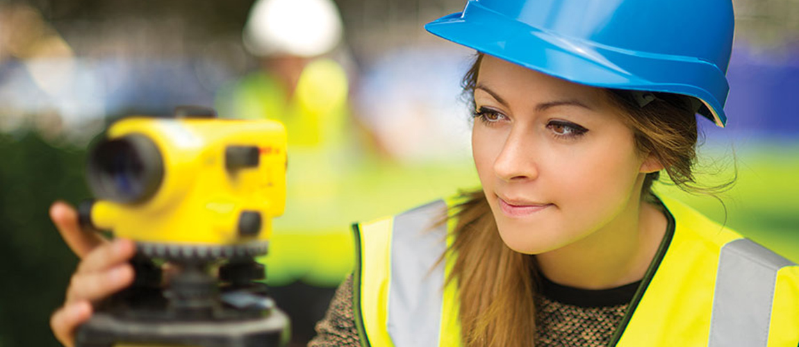
  • Increasing the employment rate of graduates in areas of specialization. Our engineering graduates are employed in state institutions (Cadastre Offices, Local Councils, Design Institutes, etc.) and private (commercial companies) providing cadastre  and related activities (construction, urbanism, local administration) or as Individual companies (PFA).
  • Curricula adapted to the open education system: students have the opportunity to participate, through the ERASMUS program, in courses held at universities abroad based on transferable credits recognition.
Educational offer:
  • Bachelor's degree 4 years (8 semesters) Study program Land Measurements and Cadastre (MTC)
Diploma awarded: Engineer
Form of education: full-time education
Team Department of Cadastre
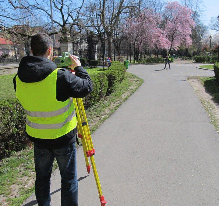
  • The teaching staff consists of academically qualified persons, involved in state-of-the-art professional and research activities in the field of land and construction measurement, land register, cadastre, mapping and geodesy. Our research activities mainly focus on cutting-edge engineering research, measurement of building and ground deformations, geodynamics, positioning and satellite navigation.
Material base:
  • The University of Oradea, respectively the faculty provides the material basis necessary for quality education, educational spaces, equipped laboratories, teachers with adequate didactic training and has state-of-the-art technology to meet the current and future requirements of the industry.